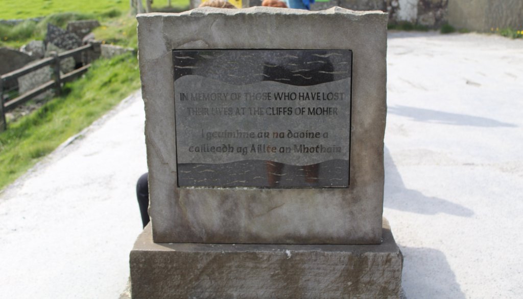
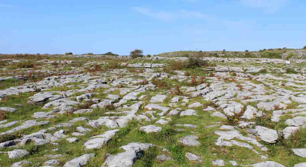
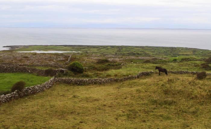
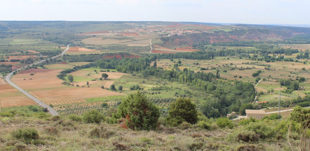
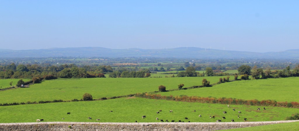
One thing that an American visitor quickly learns on a trip around Europe is that there are simply some parts of the landscape that cry out to be the site of a castle. At a time when every town was its own kingdom, a time before police forces or standing armies, a time of great scarcity and instability, it was only the presence of a castle that could guarantee the safety of the local ruling family. And the safest place for a castle is usually on the highest available ground—where enemies can be spotted from afar, and where attackers must struggle uphill. The outcropping of limestone that rises dramatically over the fertile, level land known as the “Golden Vale” is just such a place—a natural pedestal. You might even say that it was destined to be the site of a great edifice.
The Rock of Cashel has been important in Irish history for a very long time. Indeed, it is difficult to say precisely how long. There are legends about its formation—about St. Patrick confronting Satan, who then hurled this great rock from a nearby mountain—and there are stories about the early Christian leaders, Patrick and Declán, meeting here all the way back in the 5th century. What we can say with more certainty is that this was the seat of the kings of Munster, who ruled this corner of Ireland from the Iron Age all the way to the Middle Ages. For this rocky outcropping, in other words, geology became history.
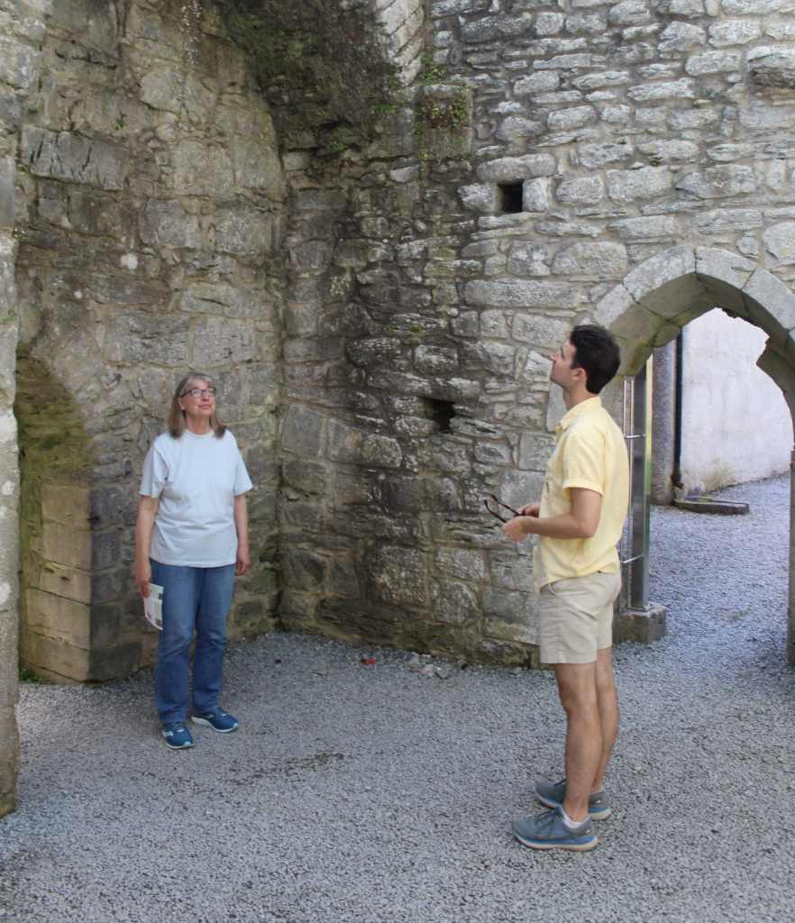
By the time we drove up and parked in the shadow of this old pile of rock, it was the middle of a hot, sunny day. We walked up the hill to the entrance and signed up for the next available tour, which luckily was about to start. Our guide was—like so many Irish—eloquent, witty, and engaging, leavening her historic spiel with the right amount of humor. Still, during my visit, I found it difficult to pay attention. The ruins were so vast and so evocative that I felt swallowed up, overwhelmed by their scale and splendor.
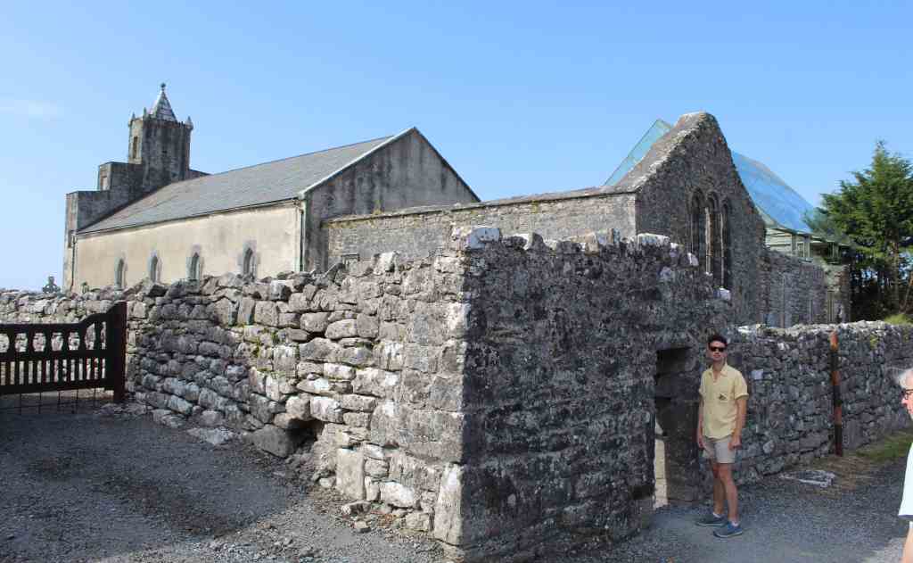
But time alone is not solely responsible for the building’s ruined state. Although the Rock of Cashel was a fortified castle for centuries, religion eventually overtook politics as the dominant local force, and a large Catholic cathedral was instead built in its place. Yet such a prominent symbol of Catholic power was an obvious point of resistance during the Irish Rebellion of 1641; and it was an obvious site of English reprisals in the following defeat.
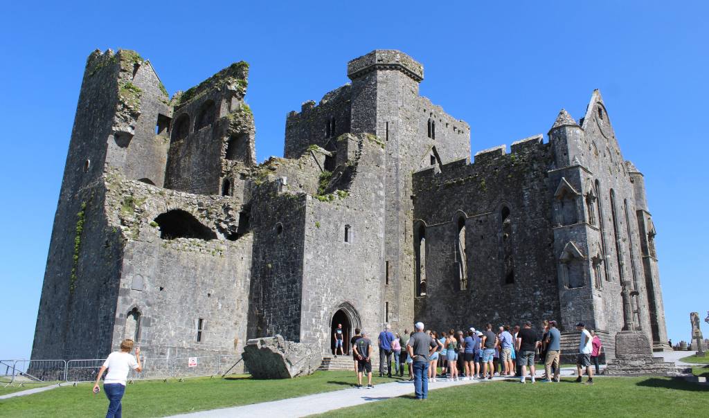
The invading troops massacred the Catholic clergy and looted the church. Among the dead was Theobald Stapleton, one of the fathers of Irish orthography. Henceforth, the cathedral came to be used by the Anglicans. The English clergy were, however, little disposed to invest in the upkeep of the cathedral, which fell into disrepair. Finally, Arthur Price, the local archbishop, overruled plans to repair the roof—considered a jewel of Irish architecture—and had it dismantled, thus leaving the ruin we see today.
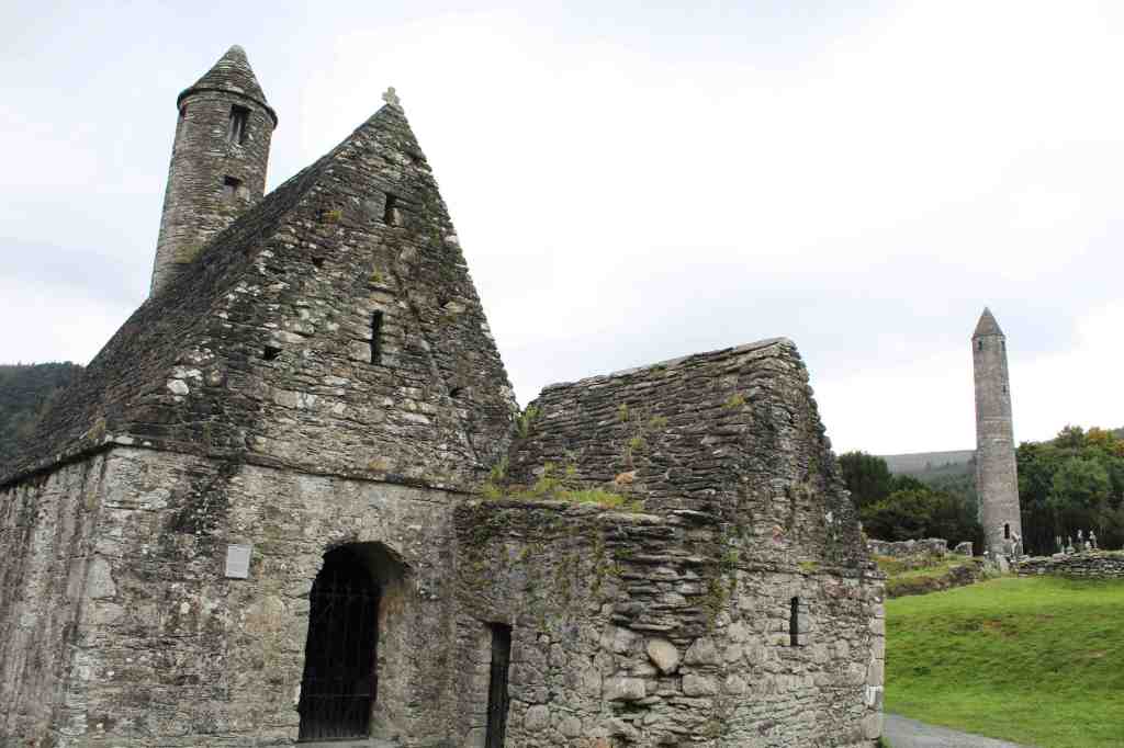
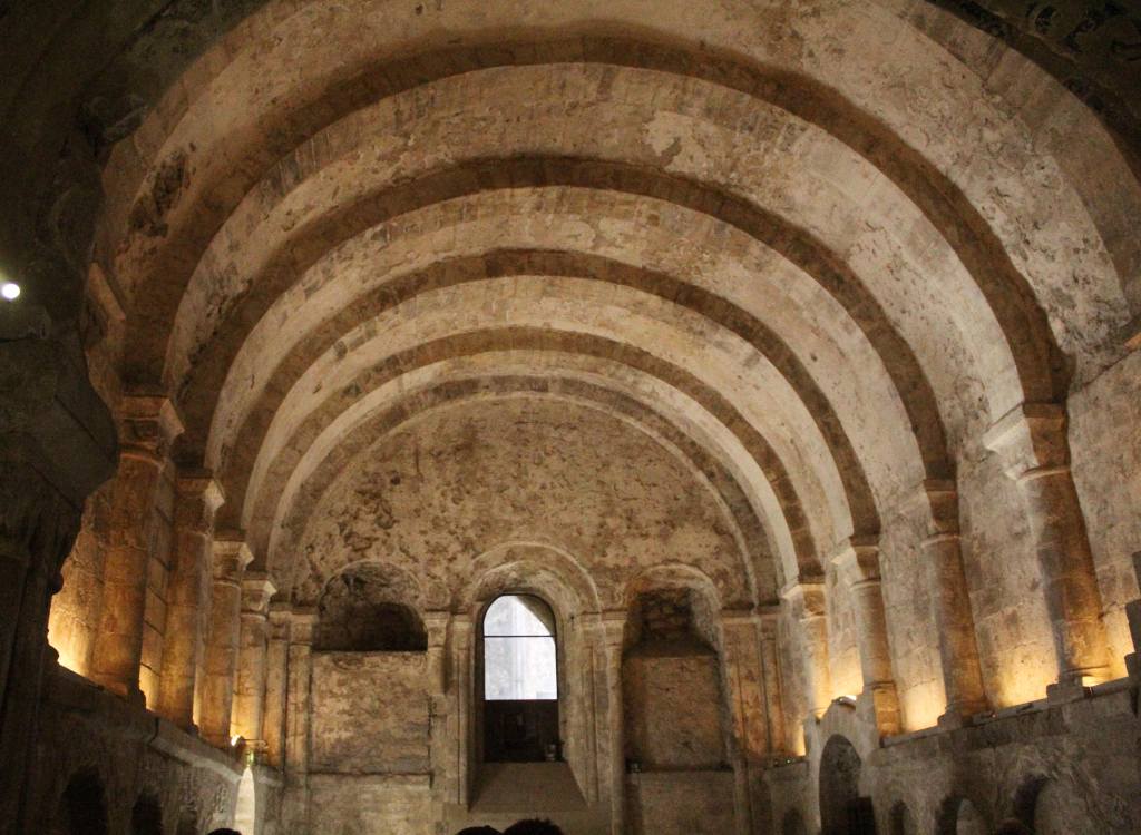
But some parts of the original structure remain standing—most notably, Cormac’s Chapel. Completed in 1134, this is a Romanesque chapel, one of the finest in Europe. Unlike the flashy Gothic architecture of the high Middle Ages, this chapel strikes the modern viewer as elegant, meditative, and soulful. Unfortunately, the builders of this chapel used sandstone—which has an attractive hue, but which soaks up water over time. This severely damaged the wonderful ceiling frescoes, as well as weakened the structure. Nowadays, the interior is climate-controlled, and visitors can only enter in small groups, for a limited amount of time.
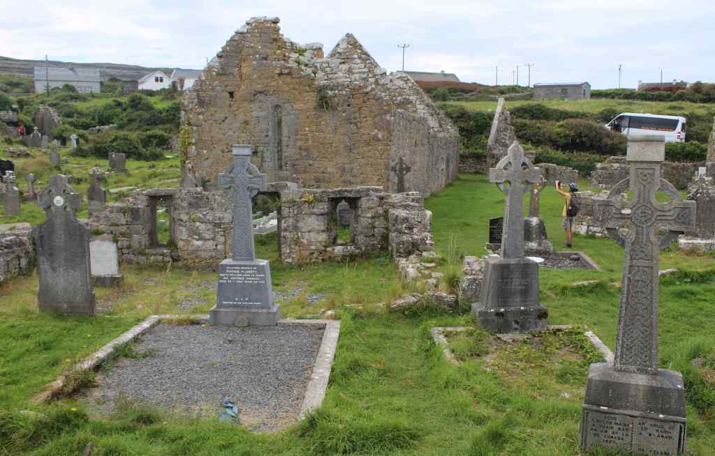
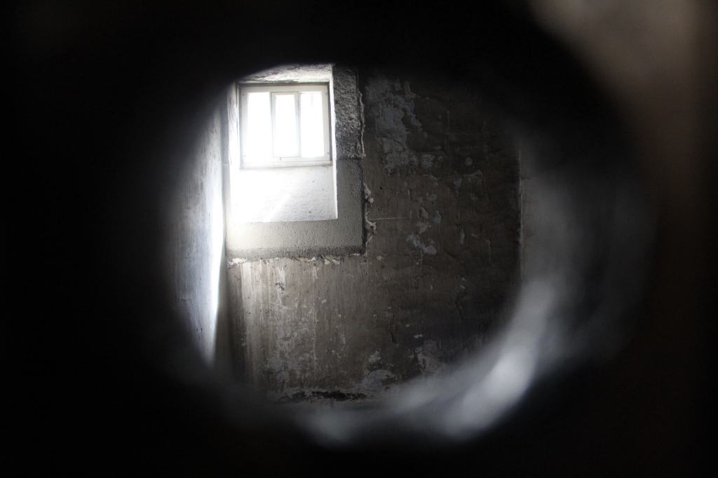
The other notable structure on the site is the round tower. This is a distinctly Irish design, consisting of a free-standing stone tower with a pointed roof. The one here is nearly 30 meters (100 feet) tall, and was built before the cathedral was even started. The purpose of these towers is somewhat mysterious: they would not make good bell towers (there isn’t room or a sizable window), and they were not used for storing grain. Because they had such a small foundation, it was structurally necessary to put the entry door well over the ground, accessible only by a ladder. Our guide explained that this made the towers ideal places for the monks to hide during attacks, as the ladder could be withdrawn into the tower and the door tightly shut.
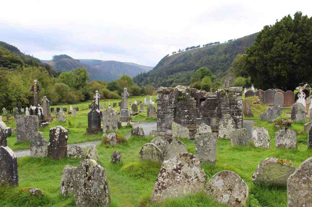
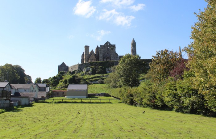
Our tour ended on the northern side of the site. In the far distance, the low, lush fields of the Golden Vale spread endlessly outwards. After the cathedral’s destruction, the hill was still used as a cemetery for many years. Many graves thus adorn this side of the hill, giving a somber mood to an already haunting place. As usual in Ireland, many centuries seemed to be compressed beneath our feet.
Learning history is tiring work, so we next headed to a nearby restaurant for some hearty Irish fare. And this gives me an opportunity to talk about Irish cuisine in general. Most people, I would reckon, do not visit Ireland for the food, and it is not especially well-known outside the country. Nevertheless, I found it to be consistently comforting and enjoyable. Both literal and figurative meat and potatoes, it is honest, hardworking food that will keep you fit and fed all day. Yes, it is somewhat bland; and yes, it sits a bit heavy in the stomach. But it does exactly what it promises to do. Besides, if you get tired of it, Ireland is well-supplied with cuisines of other varieties. During our time there, we had good Italian, Indian, and Mexican food.
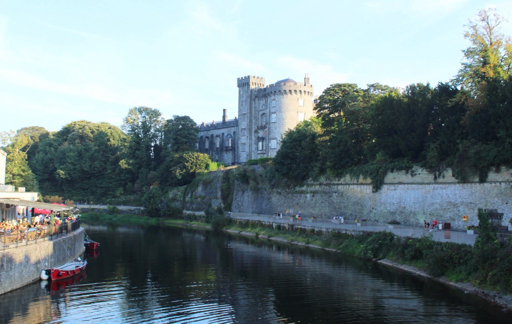
Our next stop was the nearby town of Kilkenny, just an hour’s drive away. We were behind schedule. It was already afternoon, and we had only allowed for a single day to see the city. After finding a place to park, we rushed to the town’s main attraction, Kilkenny Castle—only to be informed that it would close in an hour. Our visit was thus abbreviated.
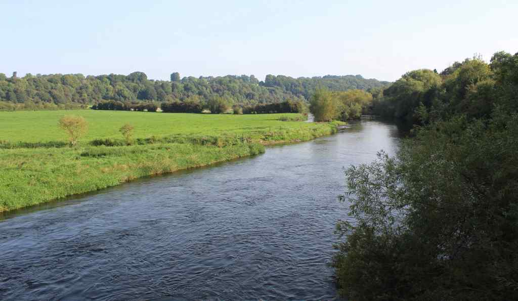
If some castles seem to emerge from the landscape, others are imposed on them in order to exert control. This is precisely the origin of this fortification, which was built along the River Nore—a natural choke point for commerce and travel. Kilkenny Castle does not have the same antiquity as the Rock of Cashel. Instead, this building came about during the Norman invasion of the 12th century. The Normans, remember, invaded Britain in 1066, and came bearing a new language (French) and continental ideas of architecture. If the Rock of Cashel is a symbol of Irish identity, then, Kilkenny Castle is a symbol of foreign occupation.
Ironically, however, this castle was also used as a headquarters of the aforementioned Irish Rebellion of 1641. Indeed, it was even used by the provisional Irish parliament. But Oliver Cromwell put an end to that. His troops besieged the town and, in the process, damaged the castle—brutally suppressing the rebellion and instituting laws that would severely reduce the rights of Catholics.
The castle is now a museum, thanks to the 6th Marquess and 24th Earl of Ormonde, who donated it to the Irish government in 1967 for the symbolic sum of 50 pounds—long after his ancient family had run out of the necessary funds for its upkeep. In his words: “We determined that it should not be allowed to fall into ruins. There are already too many ruins in Ireland.” Of course, after decades of neglect, the castle was already quite dilapidated. It took many more years to restore it to its present glory.
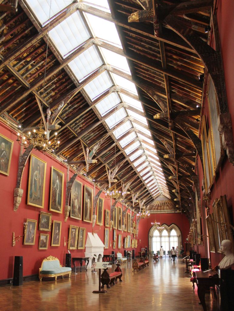
What the visitor encounters now is not so much a fortification as an aristocratic home. There is elegant furniture, richly woven tapestries, and lovely floral wallpaper. The showstopper is the picture gallery—an enormous room with wooden vaulted ceilings, every inch elaborately decorated. Even the fireplace is intricately carved. Yet despite the many attractive paintings adorning the walls, I found the ceiling to be the most impressive. Every single board was shaped and painted.
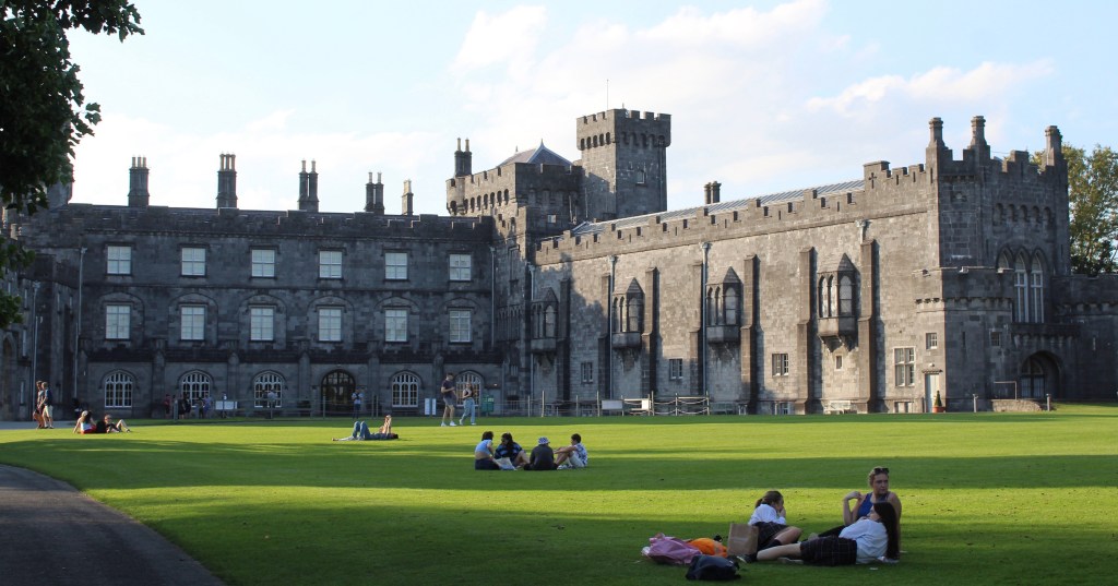
Soon our tour was over, and we were deposited in the sweeping lawn of the castle grounds. It was a delicious evening—warm, cloudless, and still quite bright—and this great lawn, which now serves as a city park, was full of people. We sat on a bench and took it in. A group of high school boys caught my attention. Their backpacks on the ground (it was a school day), they were tossing a ball back and forth with wooden sticks. This is hurling—the quintessential Irish sport, which requires great dexterity to manipulate a small ball with a kind flat wooden club. There, in the shadow of a fortress built by invaders, the Irish culture blithely soldiered on.
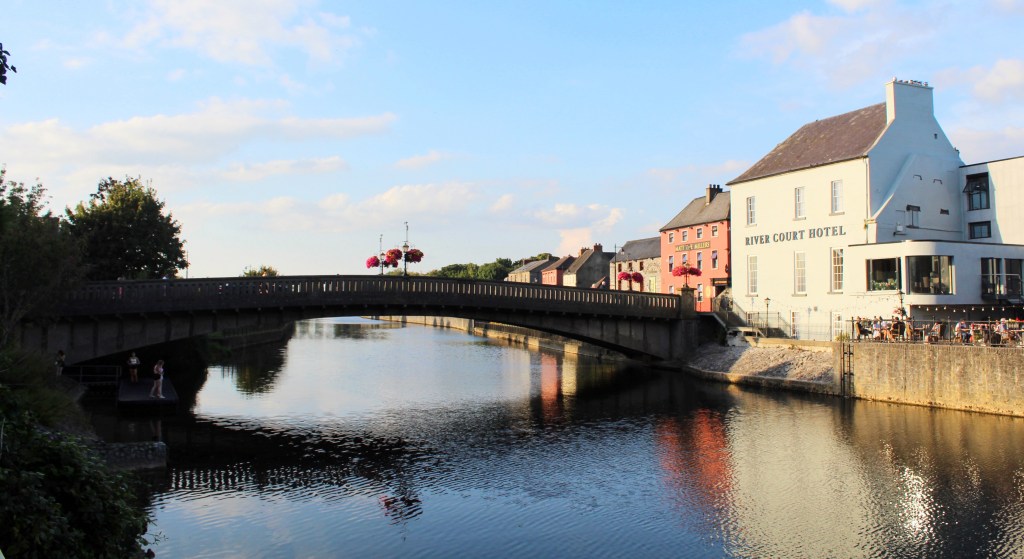
It was our misfortune not to have had more time for Kilkenny. One of the most charming and best-preserved cities in Ireland, it is worth a longer visit than we allotted. Still, we enjoyed strolling the streets and walking alongside the placid waters of the River Nore. Indeed, as we searched for a restaurant, we observed a group of school-age girls taking turns jumping into the river. With nobody else around, it felt like a strangely intimate moment in a small town, rather than something I expected to see in a center of medieval Norman power.
As the 6th Marquess and 24th Earl of Ormonde observed, Ireland is indeed quite full of ruins. And yet among them, above them, and between them, it is also a living place.